
 Trip.com










A US island with a Caribbean calendar
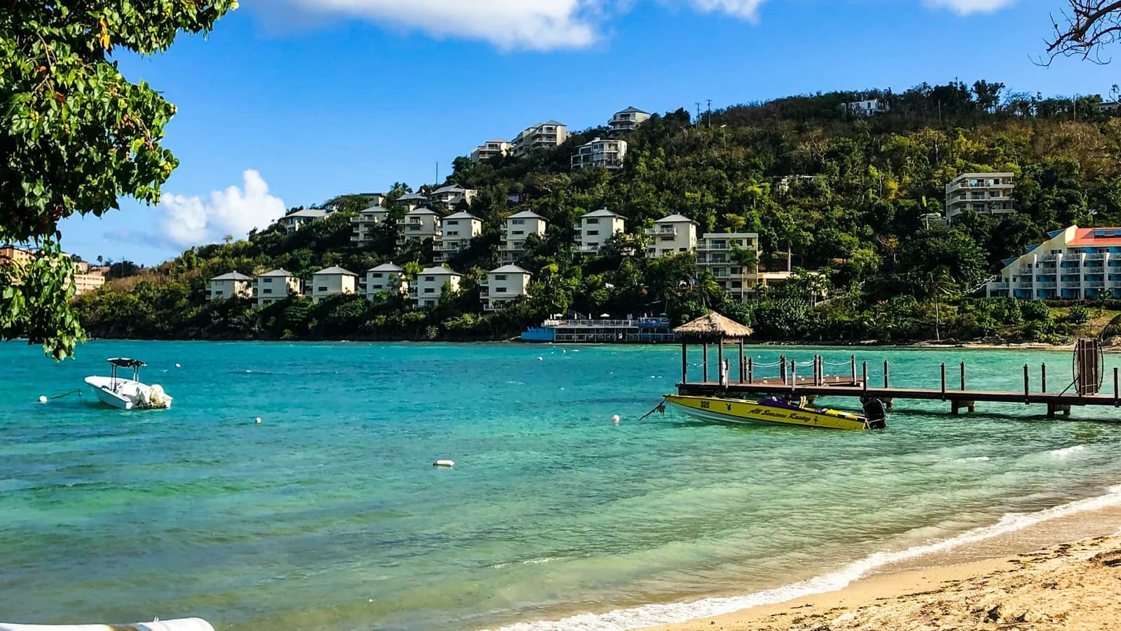
St. Thomas is unusual: it is a US territory, so American visitors need no passport and the dollar is the currency — but the weather runs on a standard eastern Caribbean pattern, with a dry, breezy season from December to May and a wetter, storm-exposed one from August to November.
Sitting in the eastern Caribbean means it takes the first hit from storms crossing the Atlantic. That makes the winter and spring window unusually valuable here — and it is one of the more reliable stretches anywhere in the region.
The best month is March
March is the standout: 29°C days, just 32mm of rain, 11.3 hours of sun, and the calmest, clearest water of the year. For an island whose main draw is snorkelling — Coki Point here, Trunk Bay across the water on St. John — water clarity is the thing that decides the trip, and March is when it peaks.
The steady trade wind keeps the heat comfortable, and the Rolex Regatta at the St. Thomas Yacht Club in late March brings international sailing to the harbour. Rates are at winter-peak levels.
Late April: Carnival, then the price drop
April is the smart booking. The USVI Carnival— a month of calypso, food fairs, J'ouvert and parades in Charlotte Amalie — culminates in the last week and is the territory's biggest event by a distance.
Just as importantly, winter high season ends around mid-April, when rates typically fall noticeably while the weather holds at 30°C and 11.7 hours of sun. Late April gives you peak conditions, Carnival, and shoulder pricing in the same week.
The rest of the good season
- December — dries out quickly to 50mm as the trade winds return, with 30°C days. The first half is the value pick before the Christmas surge, when villas sell out and minimum-stay rules apply.
- January — the driest month of the year alongside March (33mm), 11 hours of sun, and peak season in full swing. Multiple cruise ships most days.
- February — reliable and breezy, with the lowest humidity of the year. A passing front can bring a showery day.
- May — 31°C, mostly dry (78mm), and among the quietest months at low-season rates as cruise calls thin out. The water warms to 27°C. A genuinely underrated month.
- June — the sunniest month of the year at 11.8 hours and still fairly dry. Hurricane season opens June 1, but early-season storms are rare this far east.
Plan around the cruise ships, not just the months
This is the local knowledge that changes a St. Thomas trip. Charlotte Amalie is one of the busiest cruise ports in the Caribbean, and on peak winter days three or four ships can dock at once. When that happens:
- The waterfront and duty-free streets are wall-to-wall from 9am to 4pm
- Magens Bay and Coki Point fill with ship excursions by mid-morning
- Taxis and the Skyride run long queues
The fix costs nothing: check the port schedule, do town and Magens Bay on no-ship days or after 4pm, and save St. John — which has no cruise dock — for the busiest days.
St. John is the reason to come
A 20-minute ferry from Red Hook gets you to St. John, where roughly two-thirds of the island is national park. Trunk Bay and Cinnamon Bay are the best beaches in the territory by a wide margin, and there is no development behind them. Even on a short trip, give it a full day; on a week, give it two or three nights.
What to avoid
August through October. The Atlantic hurricane peak, with October the wettest month at 145mm and many restaurants and small hotels closed for the season. Hurricanes Irma and Maria both struck as Category 5 storms in September 2017, two weeks apart. See our worst time to visit St. Thomas page for the full picture.
A few practical things
- No passport needed for US citizens — it is a US territory, with the dollar and US mobile networks.
- They drive on the left, in left-hand-drive cars, on steep narrow roads. Take it slowly.
- Stay on the East End (Red Hook, Sapphire) for beaches and the St. John ferry; the north shore near Magens Bay for villas; Charlotte Amalie for value and the historic town.
- Five to seven days is right — three for St. Thomas, two or three for St. John.
The honest verdict
Go in March for the driest weather and the clearest water of the year. Go in late April if you want Carnival plus the mid-month price drop — the best combination on the calendar. Take early December or May for quiet weeks at low-season rates. Whenever you go, check the cruise schedule and keep St. John for the busiest days.
Compare St. Thomas with the rest of the Caribbean on the Best Time to Travel leaderboard.
Your St. Thomas cheat sheet
One email with the whole year in it — and the questions that actually change a trip there, answered.
- All 12 months scored 0–100
- The months to book, and the ones to skip
- The questions that change the plan, answered
- Plus the Travel Timing Calendar 2027: every destination, every month (PDF)
We'll email you your cheat sheet with the Travel Timing Calendar, plus occasional travel-timing guides. Unsubscribe anytime; see our privacy policy.
The year at a glance
Twelve months, three seasons
Each cell is one month. Lemon means peak, sky means shoulder, gray means avoid. The outlined cell is the current month.
Atlas Ranger Score · proprietary
When St. Thomas scores best, month by month
Our transparent 0–100 score blends weather comfort, crowds, value and festivals into one number per month. How it's calculated →
- Best monthMarch 78
- Best valueMarch 78 off-peak
- ToughestSeptember 58
See how St. Thomas ranks against every destination on the Best Time to Travel leaderboard →
Explore the map
Every city, every month
Drag the month scrubber, hover any city, read the headline for that window.
U.S. Virgin Islands vs Nearby Destinations
vs Bahamas
Both are US-adjacent island escapes with the same August–October hurricane peak. The Bahamas has clearer, shallower water and more islands to hop; St. Thomas has the national-park beaches of St. John next door and no passport for US citizens. Pick the Bahamas for the water; pick St. Thomas for convenience and St. John.
vs Aruba
Aruba sits outside the hurricane belt and is the safer autumn choice; St. Thomas is greener, hillier, and has better snorkelling and beaches (especially on St. John). Pick Aruba for a September–November trip; pick St. Thomas from December to May.
Where to stay in U.S. Virgin Islands
- East End (Red Hook / Sapphire Beach)$$$Resorts, beaches, St. John ferries
The main resort area, with calm beaches and the ferry to St. John a few minutes away.
Compare hotels in St. Thomas → - North shore (Magens Bay area)$$Villas, the famous beach, quiet
Villa country above one of the Caribbean's best-known beaches. A car is essential.
Compare hotels in St. Thomas → - Charlotte Amalie / Frenchtown$$Historic town, restaurants, value
Hotels and guesthouses near the harbour and duty-free shopping. Busy on cruise days; quieter in the evening.
Compare hotels in St. Thomas →
Frequently asked questions
What is the worst month to visit St. Thomas?
What is the best month to visit St. Thomas?
When is hurricane season in St. Thomas?
When is the cheapest time to visit St. Thomas?
How many days do you need in St. Thomas?
Is St. Thomas safe for tourists?
St. Thomas or Puerto Rico — which is better?
Keep planning
Plan your U.S. Virgin Islands trip
Sources
Every claim on this page is backed by an authoritative source. Atlas Ranger synthesizes data from multiple references so you can see exactly where each fact came from.
- USVI Department of Tourism (visitusvi.com)Used for: Official visitor information, event dates, entry guidance
- Open-Meteo Historical Climate Data (ERA5)Used for: Monthly temperature, rainfall, sunshine averages (5-year)
- NOAA 1991-2020 normals, Cyril E. King AirportUsed for: Monthly average daily highs (station normals replace the ERA5 grid-cell highs)
- NOAA National Hurricane CenterUsed for: Atlantic hurricane season climatology and historical USVI landfalls
- Virgin Islands Territorial Emergency Management Agency (VITEMA)Used for: Storm preparedness, shelter and evacuation guidance