
October is the worst single month — peak typhoon season
Da Nang sits squarely on Vietnam's typhoon-vulnerable central coast. October is the peak typhoon month, with rainfall averages well over 600mm — among the wettest months of any major SE Asia coastal city. The September–November window is when nearly all storms make landfall here. Boat trips, beach time, day excursions to Marble Mountains or Bà Nà Hills routinely cancel.
The September–November storm window
The pattern: tropical depressions form in the South China Sea and either intensify into typhoons hitting the central Vietnamese coast directly, or push enormous rain bands across the region without making landfall. Either way, multi-day rain events are common. Some specific risks:
- Beaches close to swimmers (red-flag warnings)
- Ferries to nearby islands cancel
- Flights to/from Da Nang International occasionally divert or delay
- Power outages in some neighborhoods during severe events
If your dates are locked in this window
Two reasonable plays:
- Late November — typhoons usually clear by mid-month and dry season starts to assert itself. Worth the gamble if you have flexibility on arrival date.
- Reroute to Hanoi— Vietnam's north dries fast in October while the central coast is still flooding. A north-only Vietnam trip (Hanoi + Halong Bay + Sapa) works in late October.
The honest verdict
Da Nang in October is the single most weather-vulnerable major SE Asia beach destination. If you have any flexibility, push your dates to late November or beyond. For the full positive picture and the dry-season window, see our best time to visit Da Nang guide.
Your Da Nang cheat sheet
One email with the whole year in it — and the questions that actually change a trip there, answered.
- All 12 months scored 0–100
- The months to skip, and when it turns good again
- The questions that change the plan, answered
- Plus the Travel Timing Calendar 2027: every destination, every month (PDF)
We'll email you your cheat sheet with the Travel Timing Calendar, plus occasional travel-timing guides. Unsubscribe anytime; see our privacy policy.
The year at a glance
Twelve months, three seasons
Each cell is one month. Lemon means peak, sky means shoulder, gray means avoid. The outlined cell is the current month.
Atlas Ranger Score · proprietary
When Da Nang scores best, month by month
Our transparent 0–100 score blends weather comfort, crowds, value and festivals into one number per month. How it's calculated →
- Best monthMarch 80
- Best valueJanuary 71 off-peak
- ToughestOctober 43
See how Da Nang ranks against every destination on the Best Time to Travel leaderboard →
Explore the map
Every city, every month
Drag the month scrubber, hover any city, read the headline for that window.
Conditions right now
Right now in Da Nang: 25°C, drizzle, air quality moderate (US AQI 52), sea 30°C.
Updated Oct 7, 6:00 AM · Live data from Open-Meteo
Vietnam vs Nearby Destinations
vs Hoi An
Pick Hoi An for atmosphere — lantern-lit old town, tailor shops, riverside dining. Da Nang has the better beaches and infrastructure. They're 30 minutes apart, so most travelers split nights between the two rather than choose.
vs Nha Trang
Pick Nha Trang for active beach scene and diving. Pick Da Nang for cultural day trips (Hoi An, Hue, Marble Mountains) and a quieter beachfront. Nha Trang's rainy season runs Oct–Dec like Da Nang's but is slightly less severe.
Airport transfers, money, water, connectivity and which areas to stay in are covered once, on the Da Nang best-time guide.
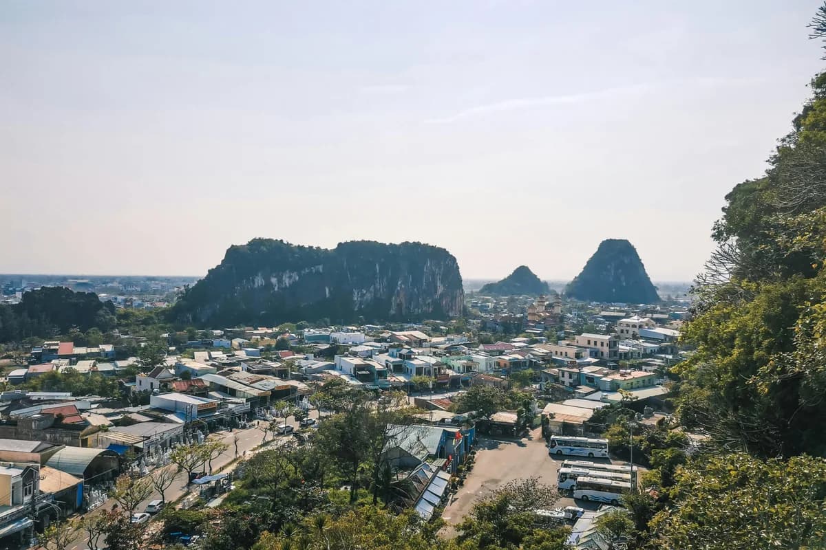
Vietnam in pictures


Frequently asked questions
What is the best month to visit Da Nang?
What is the worst month to visit Da Nang?
When is the rainy season in Da Nang?
How many days do you need in Da Nang?
Is Da Nang safe for tourists?
Should I visit Da Nang or Hoi An?
When is the cheapest time to visit Da Nang?
Keep planning
Plan your Vietnam trip
Sources
Every claim on this page is backed by an authoritative source. Atlas Ranger synthesizes data from multiple references so you can see exactly where each fact came from.
- Vietnam National Administration of TourismUsed for: Official tourism guidance, festival timing, regional travel intel
- Open-Meteo Historical Climate Data (ERA5)Used for: Monthly temperature, rainfall, sunshine averages (2020–2024)
- U.S. State Department Vietnam Travel AdvisoryUsed for: Independent safety assessment + entry requirement reference
- NOAA Joint Typhoon Warning Center (Western Pacific)Used for: Typhoon track records and seasonality for the central Vietnamese coast